US Drayage Service Area Map: Complete Guide to Nationwide Coverage
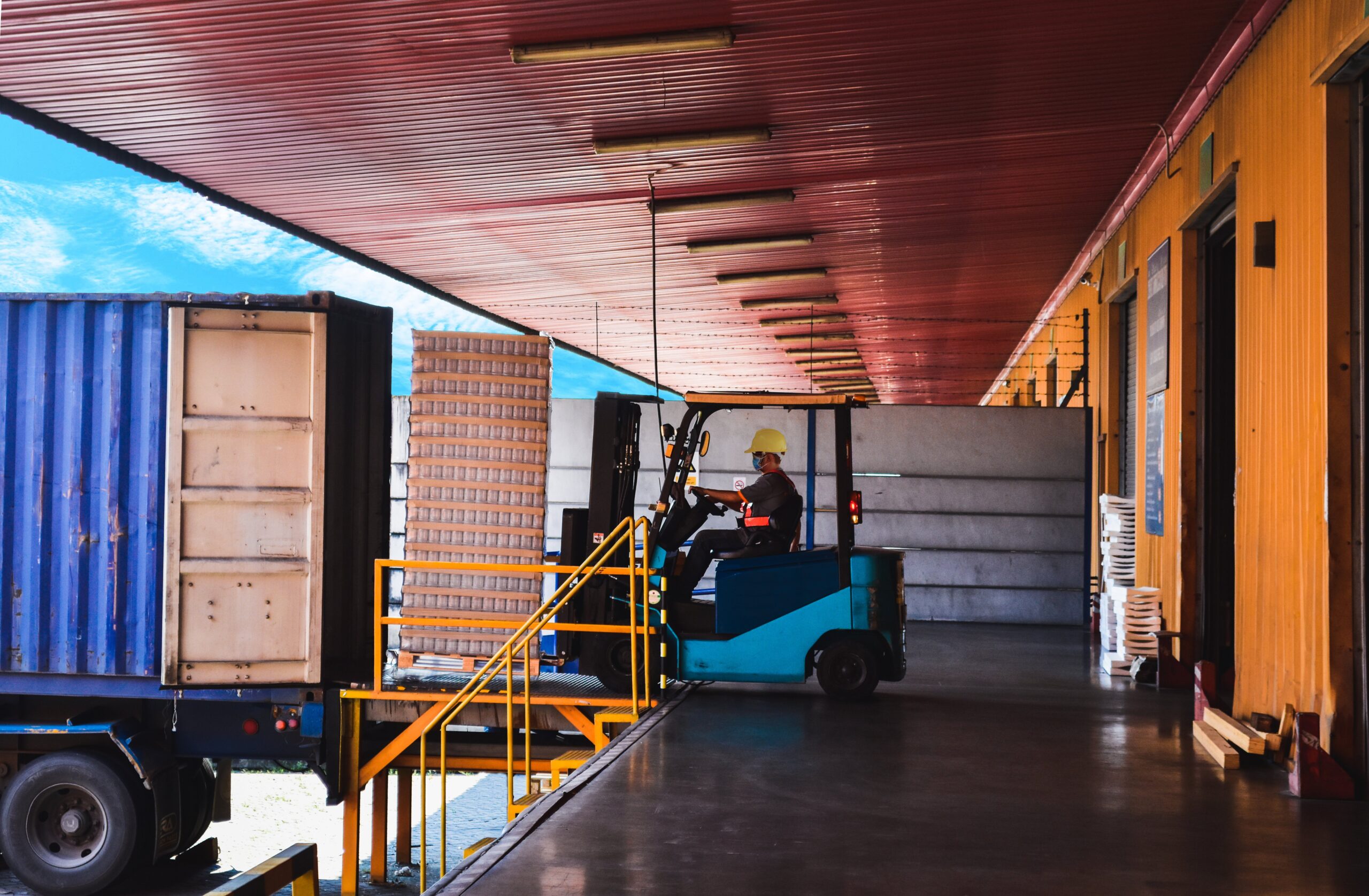
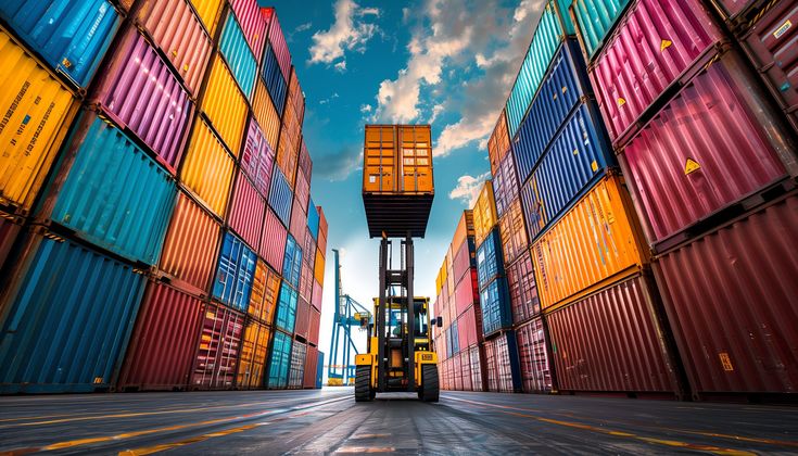
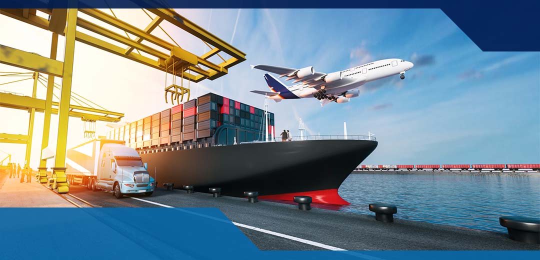
The US drayage service area map helps importers, exporters, and freight forwarders visualize how containers move between ports and inland destinations. From the West Coast to the Gulf and East Coast, efficient drayage coverage ensures goods reach warehouses and distribution centers quickly. Understanding each region’s service map allows businesses
By leo